Topcon Releases MAGNET Relay for GIS
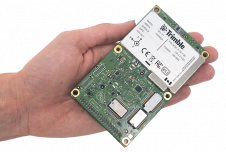
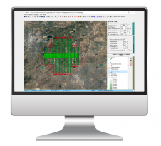
Topcon Positioning Group announces the addition of MAGNET Relay for GIS to its suite of cloud-based solutions software. As a component of MAGNET Field GIS, MAGNET Relay GIS is a mobile base station RTK (Real Time Kinematic) broadcasting service. The system is designed to allow subscribers to connect a GNSS base receiver to the relay via a cellular connection for high-accuracy RTK corrections.
“The RTK base station can be used by up to ten rovers, which makes MAGNET Relay a great solution for large scale and highly precise GIS projects,” said Stefan Naumann, business manager, software and solutions for Topcon Europe Positioning.
“GIS的继电器允许在现场收集的数据,而无需后处理,然后使用公司的安全云的磁铁企业账户快速转移到办公室,”Naumann说。“另外,该服务将基于网络的实时校正带给没有现有覆盖的项目网站。”
For more information on the MAGNET system of solutions, visitmagnet-tour.com.
Make your inbox more interesting.Add some geo.
Keep abreast of news, developments and technological advancement in the geomatics industry.
Sign up for free